Country Snapshot: Geography
Location
Southern Europe, a peninsula extending into the central Mediterranean Sea, northeast of Tunisia
Geographic Coordinates
42 50 N, 12 50 E
Map References
Europe
Area
Total: 301,340 sq km
Land: 294,140 sq km
Water: 7,200 sq km
Note: Includes Sardinia and Sicily
Country comparison to the world: 73
Area Comparative: Almost twice the size of Georgia; slightly larger than Arizona
Land Boundaries
Total: 1,836.4 km
Border countries (6): Austria 404 km, France 476 km, Holy See (Vatican City) 3.4 km, San Marino 37 km, Slovenia 218 km, Switzerland 698 km
Coastline: 7,600 km
Maritime Claims
Territorial sea: 12 nm
Continental shelf: 200-m depth or to the depth of exploitation
Climate
Predominantly Mediterranean; alpine in far north; hot, dry in south
Terrain
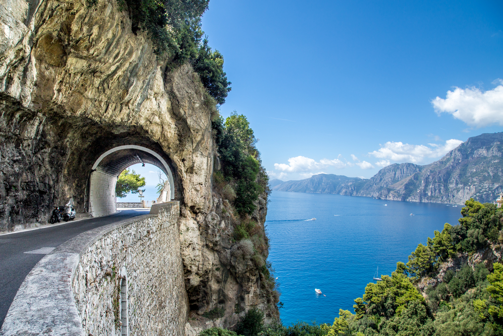
Mostly rugged and mountainous; some plains, coastal lowlands
Elevation
Mean elevation: 538 m
Lowest point: Mediterranean Sea 0 m
Highest point: Mont Blanc (Monte Bianco) de Courmayeur (a secondary peak of Mont Blanc) 4,748 m
Natural Resources
Coal, antimony, mercury, zinc, potash, marble, barite, asbestos, pumice, fluorspar, feldspar, pyrite (sulfur), natural gas and crude oil reserves, fish, arable land
Land Use
Agricultural land: 47.1% (2011 est.)
Arable land: 22.8% (2011 est.)
Permanent crops: 8.6% (2011 est.)
Permanent pasture: 15.7% (2011 est.)
Forest: 31.4% (2011 est.)
Other: 21.5% (2011 est.)
Irrigated land: 39,500 sq km (2012)
Population Distribution
Despite a distinctive pattern with an industrial north and an agrarian south, a fairly even population distribution exists throughout most of the country, with coastal areas, the Po River Valley, and urban centers (particularly Milan, Rome, and Naples), attracting larger and denser populations
Natural Hazards
Regional risks include landslides, mudflows, avalanches, earthquakes, volcanic eruptions, flooding; land subsidence in Venice
Volcanism: significant volcanic activity; Etna (3,330 m), which is in eruption as of 2010, is Europe's most active volcano; flank eruptions pose a threat to nearby Sicilian villages; Etna, along with the famous Vesuvius, which remains a threat to the millions of nearby residents in the Bay of Naples area, have both been deemed Decade Volcanoes by the International Association of Volcanology and Chemistry of the Earth's Interior, worthy of study due to their explosive history and close proximity to human populations; Stromboli, on its namesake island, has also been continuously active with moderate volcanic activity; other historically active volcanoes include Campi Flegrei, Ischia, Larderello, Pantelleria, Vulcano, and Vulsini
Current Environmental Issues
Air pollution from industrial emissions such as sulfur dioxide; coastal and inland rivers polluted from industrial and agricultural effluents; acid rain damaging lakes; inadequate industrial waste treatment and disposal facilities
Notes
- Strategic location dominating central Mediterranean as well as southern sea and air approaches to Western Europe
Article written for World Trade Press by CIA Factbook, Current as of 5 May, 2021.
Copyright © 1993—2024 World Trade Press. All rights reserved.

 Italy
Italy 
